Substack’s latest feature, Reporting Transformations, is revolutionizing newsletter analytics with dynamic real-time data filters. Writers can now explore audience trends and engagement more deeply than ever, uncovering powerful insights that elevate their content strategy to new heights
Browsing: data visualization
New integrated geospatial datasets are revolutionizing marine spatial planning across the UK, providing rich, detailed insights that enhance environmental impact assessments and propel sustainable ocean management to exciting new levels
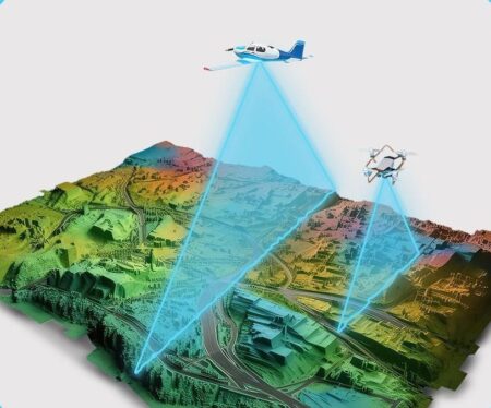
Germany’s ambitious quest to create a state-of-the-art digital twin has reached an exhilarating halfway milestone, with breathtaking aerial surveys capturing incredibly detailed geospatial data. This pioneering project, showcased by GIM International, is set to transform urban planning and environmental monitoring in ways we’ve never seen before
NASA’s Earthdata portal has unveiled striking cloud-free imagery of the United Kingdom and Ireland, offering clear insights into the region’s geography and urban development. This resource aids researchers and enthusiasts in studying environmental patterns and land use.


