Germany has just awarded ICEYE and Rheinmetall nearly $2 billion to develop a cutting-edge synthetic aperture radar (SAR) satellite network, dramatically enhancing surveillance capabilities for national security and allied forces, Breaking Defense reveals
Browsing: remote sensing
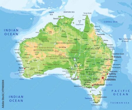
Australia has selected Arkeus’ state-of-the-art hyperspectral sensor to supercharge its army surveillance program, transforming battlefield intelligence with real-time, ultra-high-resolution spectral imaging. This groundbreaking innovation marks a giant leap in defense technology and operational capability
Satellite night lights data is revolutionizing the way we forecast India’s electricity demand, unlocking smarter, real-time energy planning and management-new research featured on ResearchMatters.in reveals how
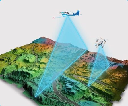
Germany’s ambitious quest to create a state-of-the-art digital twin has reached an exhilarating halfway milestone, with breathtaking aerial surveys capturing incredibly detailed geospatial data. This pioneering project, showcased by GIM International, is set to transform urban planning and environmental monitoring in ways we’ve never seen before
India is harnessing the power of advanced AI and satellite technology to craft highly detailed maps pinpointing urban heat vulnerability right down to individual buildings. This pioneering initiative promises to revolutionize climate resilience efforts, equipping cities with smarter, more targeted strategies to combat soaring temperatures
A revolutionary study featured in Nature has revealed an exciting spatiotemporal dataset that uncovers the key factors driving dengue outbreaks in Brazil, harnessing the power of geospatial big data cloud computing. This innovative breakthrough is set to significantly improve public health responses and bolster preventive strategies against this pressing health challenge
NASA’s Earthdata portal has unveiled striking cloud-free imagery of the United Kingdom and Ireland, offering clear insights into the region’s geography and urban development. This resource aids researchers and enthusiasts in studying environmental patterns and land use.


